PRISM-19
Soil Moisture
0-5 cm soil
moisture data was taken with Hydraprobe Data Acquisition System
(HDAS) instrument at each sampling location (minimum of three
independent measurements per location if readings vary widely take
more) with coordinates automatically given by the HDAS system. The
HDAS measurements will be made across regular grids of 50m. The
planned sampling locations for each focus area will be loaded onto
the HDAS, and visible on your screen via the ArcPad GIS software.
Sampling involves navigating along the sampling transect through
the use of the GPS in-built in the GETAC that forms part of the
HDAS system, which displays the real-time position on the same
ArcPad screen as the sampling locations. Once the GPS cursor is
located at the predefined sampling point, HDAS measurements can be
made and stored in the GETAC.
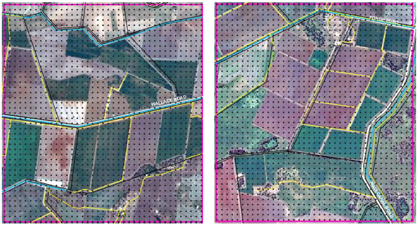
Locations of the intensive spatial soil moisture sampling sites on SM or MA flight day at focus areas YA4 (left) or YA7 (right) (mostly cropped).
Created: June 2021 Last Modified: June 2021
Maintainer: Xiaoling Wu, xiaoling.wu@monash.edu; Luisa White, luisa.whitemurillo@monash.edu