PRISM-21
Lake Calibration
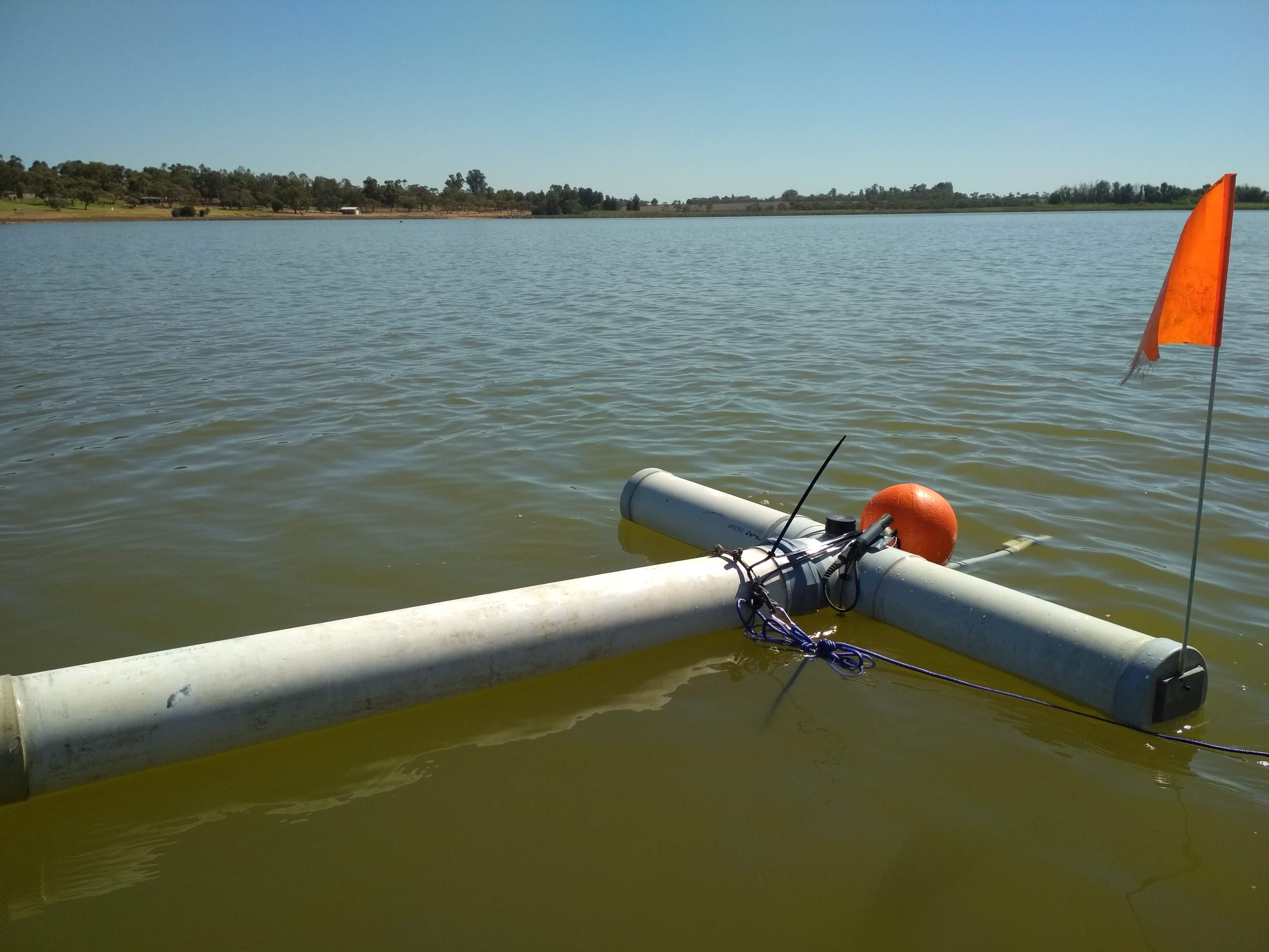
The in-flight calibration check is accomplished by flying over a water body and ground stations. Lake Wyangan was used as the cold in-flight calibration target of P- /L-band radiometers. Given the relatively small size of the water storage, the aircraft will be flown at the lowest permissible altitude (500ft) within the lake boundary along a distance of around 1 km. Ground requirements for over-water flights include monitoring of the water temperature and salinity within the top 1 cm layer of water. Both quantities was monitored continuously during the campaign using a UNIDATA 6536B® temperature and salinity sensor connected to a logger, located at -34.214348, 146.021501 at Lake Wyangan. Furthermore, transects of water temperature and salinity in the top 1 cm layer was undertaken with a handheld temperature and salinity meter (Hydralab Quanta®) at the start and end of the PRISM campaign. This involved making north-south and east-west transects at around 100 m spacing centred on the monitoring station. The purpose of these measurements is to check for spatial variability.
Lake Station UNIDATA 6536B® temperature and salinity sensor
Created: June 2021 Last Modified: June 2021
Maintainer: Xiaoling Wu, xiaoling.wu@monash.edu; Luisa White, luisa.whitemurillo@monash.edu