PRISM-21 

Project Archive

Project Overview 

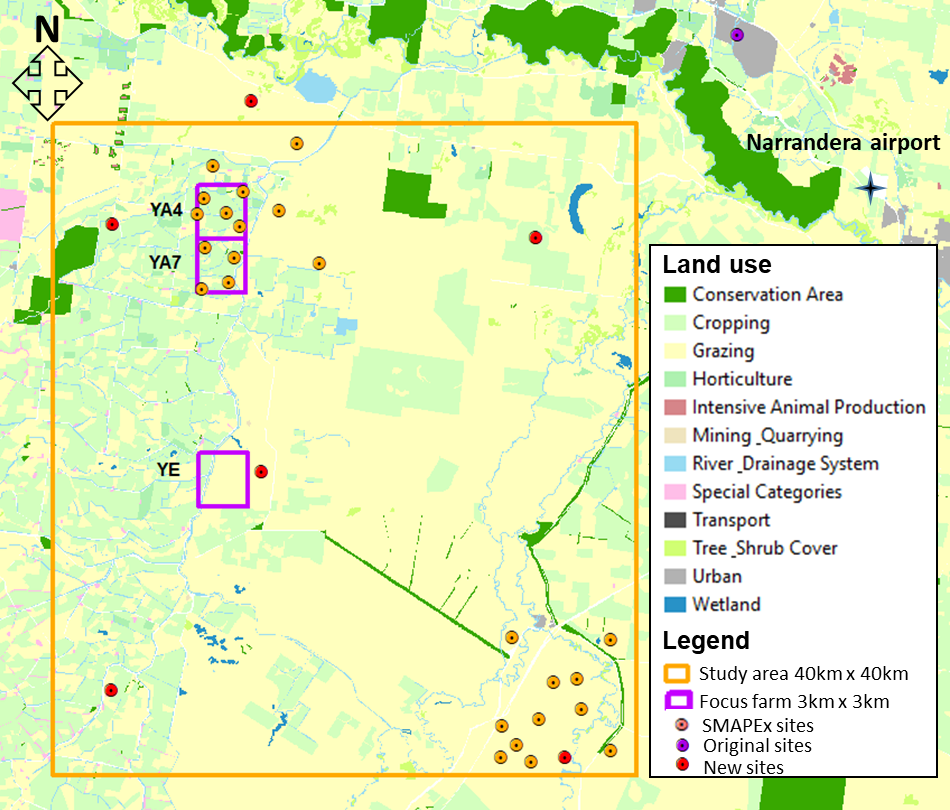
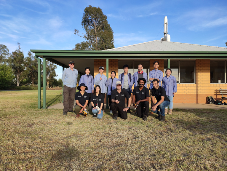
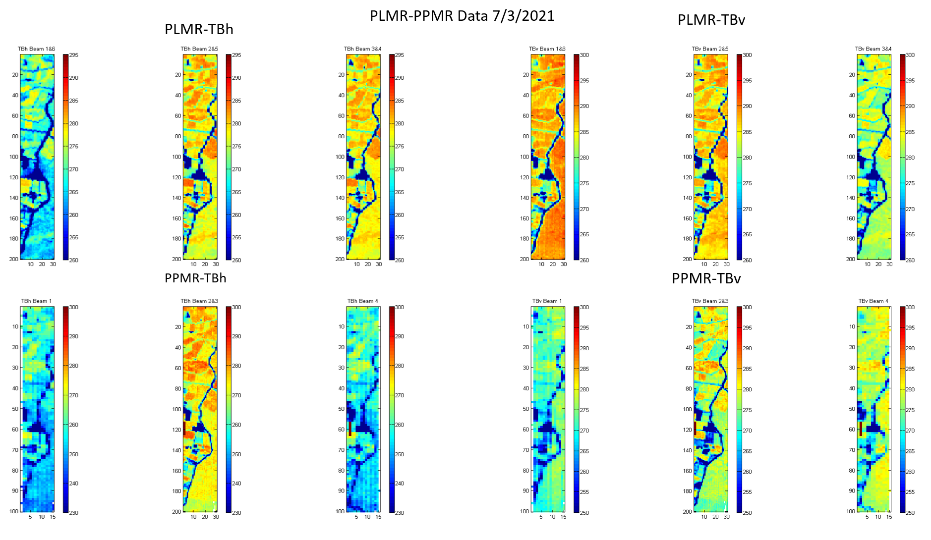
The PRISM-21 airborne campaign involved collecting airborne P-band data together with L-band, with concurrent ground observations of soil moisture and ancillary data for a diverse range of conditions. The campaign was conducted in the Yanco area, and provided multi-temporal data to: 

  • Land cover type; 
  • Evaluate soil moisture retrieval at 100m resolution using combined PPMR/PLMR brightness temperature observations. 
  • Evaluate soil moisture retrieval at 10m resolution using PLIS or PPIS backscatter observations. 
  • Evaluate downscaling algorithms by integrating radar and radiometer observations at P- or Lband. 
  • Determine the relationship between looking angles and soil moisture retrieval from radar and radiometer observations individually and collectively. 

Data collected during PRISM-21 was mainly consist of: 

  • airborne P-/L- active and passive microwave observations, together with ancillary optical cameras; 
  • continuous near-surface (top 5 cm) soil moisture and soil temperature monitoring at 9 permanent stations within the flight area, with sensors at 5 cm depth increments to a depth of 25 cm. Additional stations within the broader Yanco Study Area include profile (0-90 cm) soil moisture and soil temperature data; 
  • additional intensive measurements of near-surface (top 5 cm) and deeper (to 20 cm) soil moisture spatial variation, vegetation biomass, water content and reflectance, and surface roughness across three approximately 3 km × 3 km focus farms.

Location of the PRISM-21 project

PRISM-21 Group Photo 

Overview of Data Set 
PLEASE NOTE: The following data sets should be acknowledged according to the following:

PRISM-21:

X. Wu, N. Ye, J. Walker, I.-Y. Yeo, T. Jackson, Y. Kerr, E. Kim and A. McGrath. (2021). The P-band Radiometer Inferred Soil Moisture Experiment 2021 WORKPLAN. Monash University, 136.